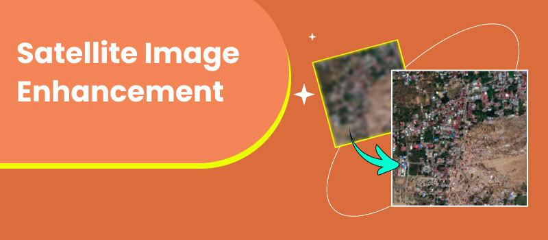
Complete Guide: How to Enhance and Upscale Satellite Images Online
Satellite imagery is essential in various industries, including meteorology, research, agriculture, and environmental management. But raw satellite images resemble standard, hazy photographs with unclear details and constrained insight. With the advent of AI-powered tools, the current age of satellite image enhancement makes it easier than ever to increase sharpness levels in blurry images, enhance resolution, and recognize and accentuate details that were previously difficult to see. Whether you are looking to hone in on an aerial image, a space image, or even an enhanced infrared satellite image that was traditionally wispy, improving image quality helps reveal the patterns and information you are looking to extract. In this guide, we will explore the best methods and tools for enhancing and upscaling satellite photos found online to make them more accurate, detailed, and suitable for professional use.
Contents:
Part 1. How to Enhance Satellite Image
When you first view a raw satellite image, it will likely appear blurry, pixelated, or lacking detail. There is nothing wrong with this, as satellite photos capture huge swathes of Earth simultaneously, and the raw data is very often not displayed in a manner that is ready for viewing. Fortunately, you do not need to be a scientist or use complex software to improve the appearance of raw satellite images. With AI tools like Picwand AI Photo Enhancer,anyone can perform satellite image enhancement in just a few clicks.
Key Features
• Removes blurriness and sharpens fine details, such as roads, rivers, and landscapes.
• Cleans up grainy textures, especially in night or low-light satellite images.
• Enhances colors and highlights, making natural and artificial features more visible.
• Works online without needing advanced editing skills or heavy software.
Steps to Enhance Satellite Image with Picwand AI Photo Enhancer
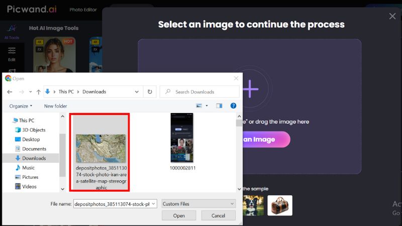
Step 1: Go to Picwand AI Photo Enhancer’s website and upload the raw satellite image you want to improve.
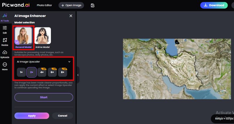
Step 2: After uploading, select the General model and the desired upscale size for the satellite image.
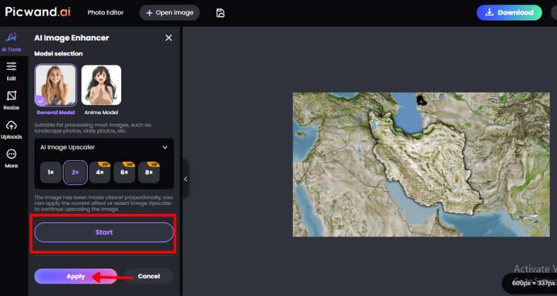
Step 3: After you click Start, the tool will automatically begin analyzing your file. To proceed with the enhancement results, click the Apply button.
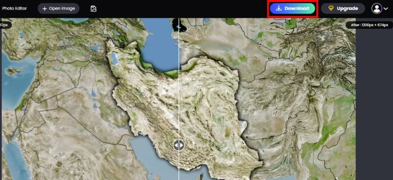
Step 4: The AI will process the image in seconds, displaying a before-and-after comparison. Download your improved satellite image, now ready for research, reports, or presentations.
Why Enhance a Satellite Image?
Before examining tools, it may be helpful to discuss why enhancement is needed. A satellite image can be collected at different resolutions based on the satellite and sensor used. There are many factors, such as cloud cover, lighting, and motion, which can all affect image quality. Enhancement of a satellite image provides the user with some or all of the following:
• Make research and reporting clearer.
• Emphasize vegetation, coastlines, or landforms.
• Make it simpler to observe weather patterns.
• Make study or project-related visuals that are ready for presentations.
Picwand AI Photo Enhancer makes satellite image enhancement simple and accessible. Rather than wasting hours trying to learn complicated GIS tools, you can now easily clean, sharpen, and batch upscale images in an instant with little effort. It will be great for students, researchers, or simply someone interested in developing new ways to think about utilizing clearer satellite imagery.
Part 2. How to Upscale Satellite Photo Resolution
If you’ve ever zoomed into a satellite photo and noticed it turning blocky or blurry, you’re not alone. Satellite photos are often captured in lower resolution, which limits the details you can see when you zoom in. It is where modern satellite image enhancement techniques are particularly important, especially AI-powered tools that simplify and enhance the resolution of satellite images. One of the best tools you can use is Picwand AI Image Upscaler.
Key Features
• Upscales images by 2x, 4x, or even 8x while preserving natural details.
• Sharpens outlines of land, clouds, and infrastructure for clear interpretation.
• Removes pixelation when zooming in on satellite photo resolution.
• Keeps natural tones and contrasts for a more realistic view.
• No technical expertise needed. AI does all the work.
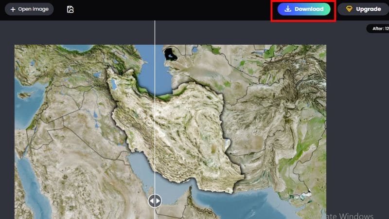
Steps to Upscale Satellite Photo Resolution with Picwand AI Image Upscaler
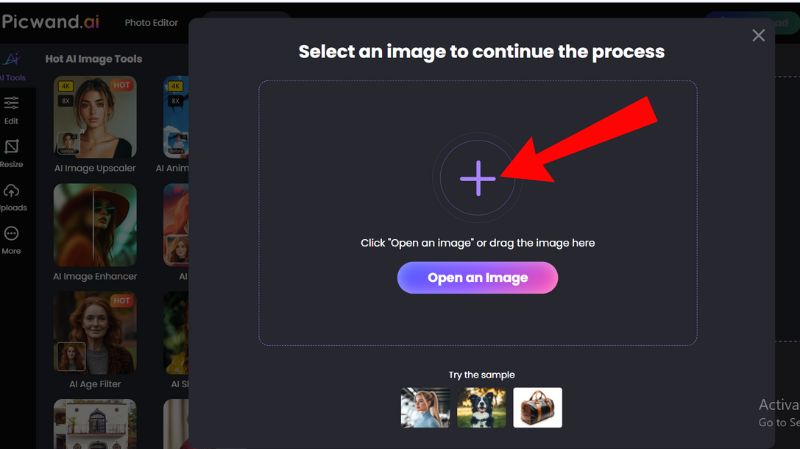
Step 1: Visit Picwand's AI Image Upscaler tool and click the + button to upload your satellite photo.
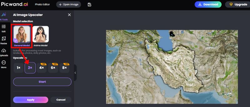
Step 2: Follow the same steps as in Picwand AI Enhancer, selecting the General model and choosing the desired enhancement level (2x, 4x, or higher). For this scenario, I used the 2x for free.
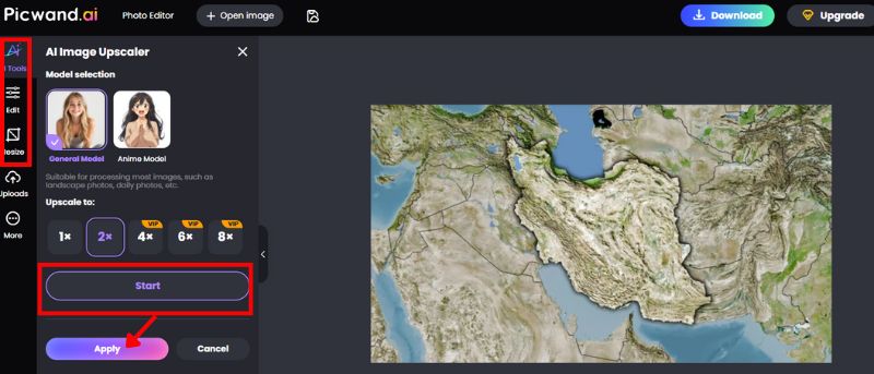
Step 3: To see the result of upscaling your satellite photo, simply click the Start button and Apply. If you’re still not satisfied with the image, you can always edit it to adjust the brightness, saturation, and other settings. You can also resize it.
Step 4: Our tool generates a side-by-side preview, allowing you to compare the original with the enhanced version. Save the improved image with significantly upgraded clarity.
In the area of satellite photo resolution, Picwand AI Image Upscaler is a game-changer. It will simplify all the more complex satellite image enhancement techniques available to anyone, even if you are analyzing land changes, observing weather systems, or simply looking at maps. If you’re looking for quick and dependable satellite image resolution enhancement, this is the one to try!
Part 3. FAQs about Satellite Image Enhancement
Why do satellite images need enhancement?
Cloud cover, atmospheric interference, and low sensor resolution can all cause blurry raw satellite images. Enhancements increase readability overall and highlight previously hidden details.
What’s the difference between satellite image enhancement and editing?
Enhancement focuses on improving clarity, sharpness, and resolution for better interpretation. Editing, on the other hand, can involve color grading, removing objects, or manipulating the image, which may not be suitable for scientific use.
Can satellite photo resolution be improved beyond its original quality?
Yes, AI-driven satellite image resolution enhancement can upscale and generate sharper details, though the results depend on the tool’s algorithm.
Do enhanced infrared satellite images benefit from AI tools?
Yes, enhanced infrared satellite images can reveal clearer heat signatures and vegetation health, making AI tools especially useful for environmental monitoring.
What is the difference between spatial, spectral, and temporal resolution in satellite images?
The size of each pixel is known as the spatial resolution (or level of detail), whereas spectral resolution refers to the capability to detect specific wavelength bands (e.g., infrared). When a satellite returns to take photos of the same location, it is referred to as temporal resolution. Enhancement can either sharpen spatial resolution or adjust the spectral information.
Conclusion
Satellite image enhancement is important because it allows us to observe and examine the world we live in with enhanced resolution. Similarly, enhanced images can provide improved quality, allowing for the observation of patterns and features of the land, sea, or atmosphere. Enhancing satellite images provides useful information for not only research and planning, but also for everyday tasks, such as weather prediction. With today's AI tools, anyone can take a satellite photo and begin processing it with minimal technical knowledge. The main takeaway is that enhancing satellite images is about more than just sharpening an image. It is about increasing accuracy and revealing information that enables better decision-making and promotes more effective stewardship of our planet.
AI Picwand - Anyone Can be A Magician
Get Started for Free